
Here’s the Route Map for the GFBD Route.
We will meet at the Forks at Noon and ride over to the Group Photoshoot, then separate into the Group Routes and head off to the Chilifest Pitstop via road, trail and river (conditions allowing).
*Note: Due to the mild conditions, we may have to adjust the routing (effect on the Seine River – it’s solid frozen where we plan to ride, but if too much snow melts and it becomes too icy then we will adjust).
If the route(s) need to be mostly quiet and safe roads/pathways or just one shorter route – then so be it.
I will be checking it on Friday – fingers crossed.
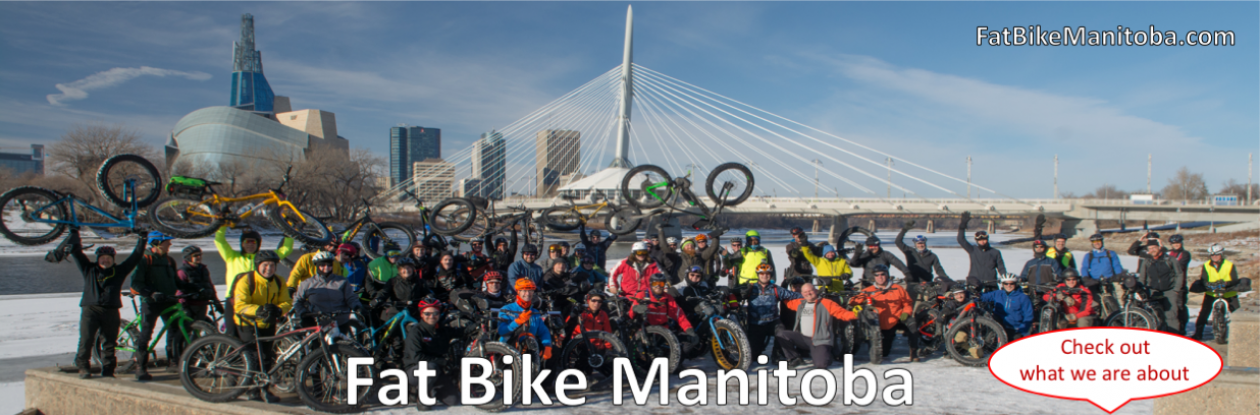
See you all at the Forks on Saturday at 12:00 Noon.
Route – Full Loop Map (22.5 Km loop – only 15.1 Km from the Forks to the Chilifest Pitstop):
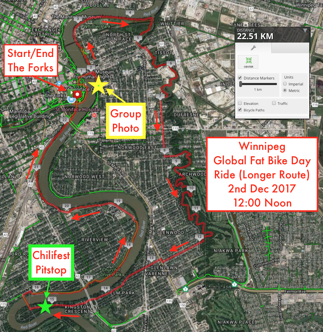
Longer Route – MapMyRide Link:
http://www.mapmyride.com/routes/view/1872120710
* We will be watching the conditions develop over the next few days with current icy-mess and and make whatever route adjustments we have to … so our Wpg GFDB Ride will be fun and as safe as possible.
** There’s always risks when we step out our door in the winter – but that’s what we do as we embrace winter as just another great Manitoba season! 🙂
More details were posted earlier here:
https://fatbikemanitoba.com/2017/11/24/2017-winnipeg-global-fat-bike-day-ride-12-noon-sat-2-dec-2017/
